

What We Do
Whether it’s precision spraying, aerial inspections, or landscape management, our focus is on providing innovative services tailored to meet each client’s unique needs. With licensed, insured, and certified operators at the helm, we ensure every project is completed with accuracy, care, and professionalism.
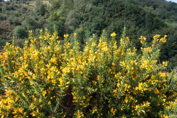
Invasive Species Control Spraying
We specialize in the targeted eradication of gorse, nightshade, blackberry, ragwort, and other invasive species that threaten your land and productivity.
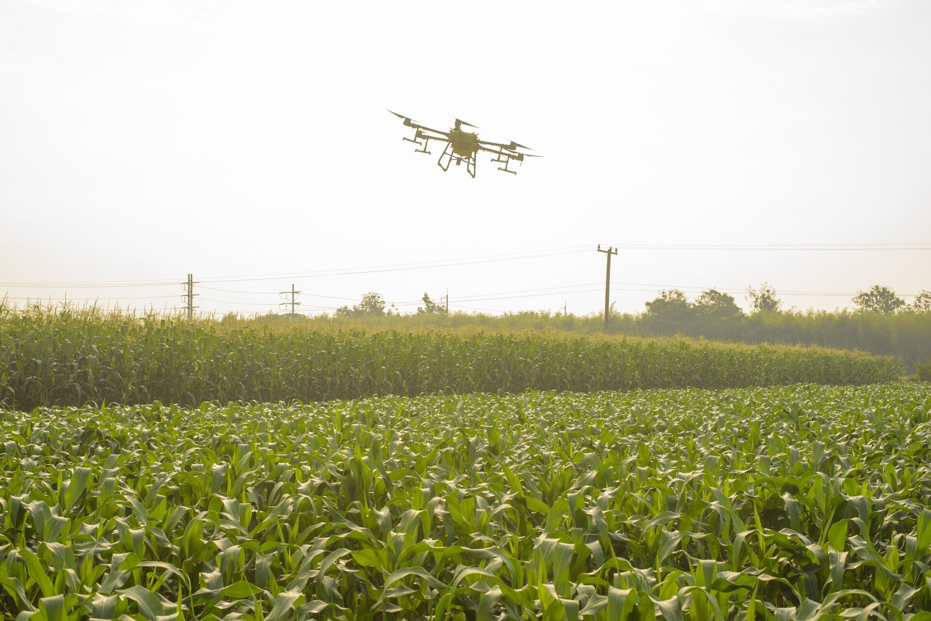
Our advanced drone technology ensures accurate herbicide application, reducing waste and drift while protecting surrounding native flora. Ideal for farmland, roadside reserves, and areas difficult to reach by foot or vehicle, this service provides a safe, efficient, and environmentally responsible approach to vegetation management.
Fertilizer and Seed Distribution
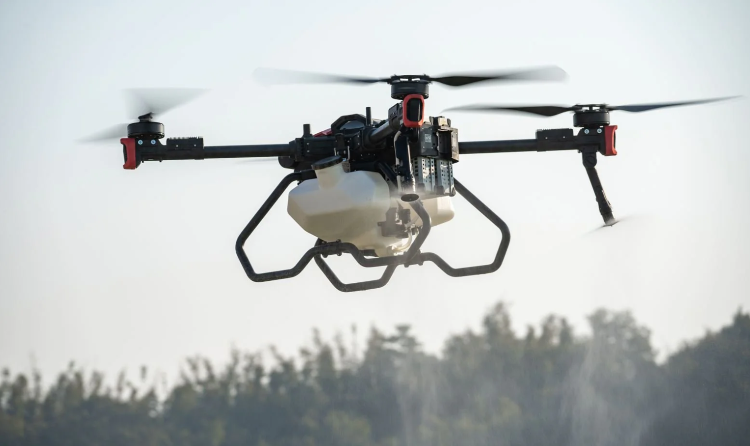
Boost farm productivity and promote healthy growth with our accurate fertilizer and seed spreading services. Our drones are equipped with precision distribution systems that ensure even coverage across your paddocks — reducing product waste and optimizing crop yield.
Whether you’re establishing new pasture, reseeding after harvest, or maintaining existing crops, drone distribution offers a faster, more cost-effective alternative to ground-based methods. We work closely with you to tailor application rates and patterns to your land’s specific needs.
Moss and Mold Management
Keep your property looking its best and prevent long-term damage with our moss and mould control treatments. Using specialized drone spraying, we can cover large areas quickly and evenly — treating rooftops, driveways, sheds, and other structures without the need for ladders or scaffolding.
Our treatments are designed to effectively remove moss, mould, and lichen buildup while protecting the integrity of your surfaces. Perfect for both residential and commercial properties, this is a modern, hassle-free way to maintain clean, safe, and durable surfaces.
Elevation and Contour Mapping
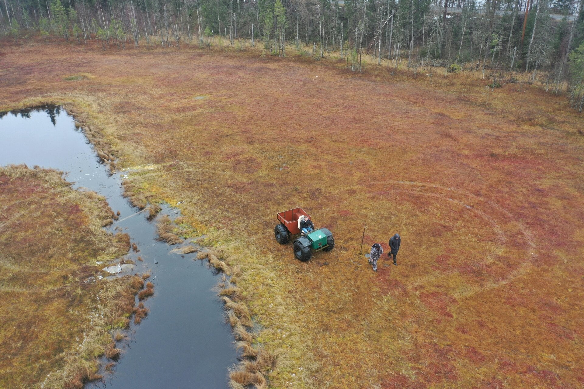
Gain valuable insight into your land’s terrain with our advanced drone-based elevation and contour mapping services. Using high-precision GPS and imaging technology, we capture detailed topographic data that helps you understand slope, elevation, and drainage patterns with exceptional accuracy.
Our mapping solutions are ideal for farm planning, construction preparation, irrigation design, and environmental management, offering a clear visual representation of your property’s landscape. Whether you’re planning development, improving land use efficiency, or monitoring changes over time, our mapping services provide the data you need to make informed, confident decisions.
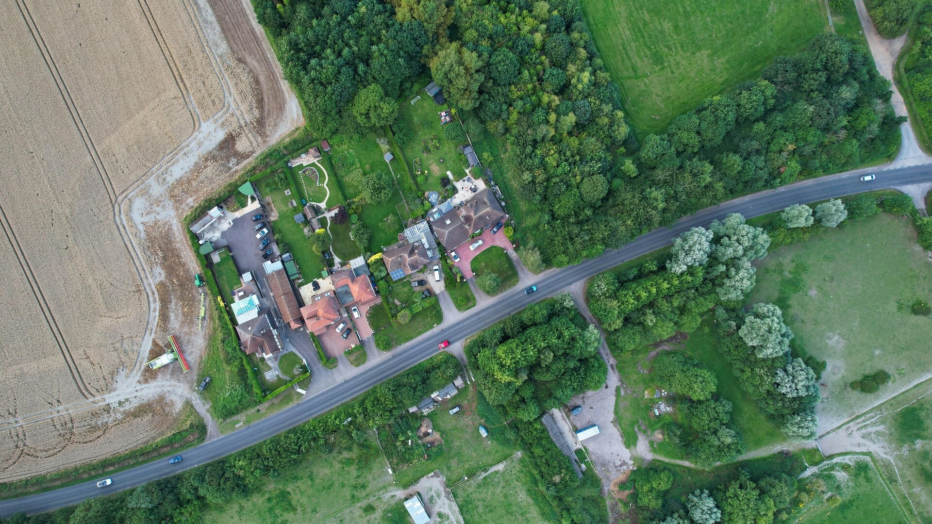
Aerial Photography
Capture a whole new perspective of your property with our high-resolution aerial photography services. Our drones provide detailed, professional-quality images ideal for farm planning, marketing, inspections, and project documentation.
From showcasing your land and operations to monitoring crop health or infrastructure, our aerial imagery delivers clarity, accuracy, and a bird’s-eye view that helps you make informed decisions.